Seohaerang Trail (Jindo, Mokpo Section)
Korean name서해랑길(진도, 목포구간)
Machine-translated from Korean. Show original
The Seohaerang Trail is a total of 1,800 km, starting from Haenam, the Land's End Village, to Ganghwa, Incheon. Walking through the Ssanggyesa Temple Garden, which has become a home for birds, trees, and wind, and the autumn leaf path, you come face to face with nature as it is. Following the path connected to the Seohaerang Trail, you can encounter Gohado Island filled with the sound of the sea, the Sebang Sunset where you can see the sun setting between islands at sunset, and the Mokpo Modern Culture Street that has now become a path of the past. <br><br>
Details
- Ssanggyesa (Jindo)
- This temple, said to have been founded by the monk Doseonguksa during the Silla period, was named Ssanggyesa because valleys flow on both sides of the temple. Following the valley behind the temple and walking up for about 10 minutes, you will find a dense evergreen forest of about 50 species covering 12,231 m², which is a Natural Monument. The construction date of the Daeungjeon Hall of Ssanggyesa was discovered in 1982 when the Daeungjeon Hall was dismantled and repaired
A record in the sangnyangmun gives the date as the 36th year of Kangxi, that is, the 23rd year of King Sukjong, revealing that it was built exactly in 1697. On a natural stone foundation about 1m high, foundation stones were placed and wooden columns were erected on top. The building is a dapo-style structure with a gable roof, three bays in front and two bays on the side. The central door is a four-panel folding door, and the side doors are three-panel folding doors; the side doors are lattice doors and the central door is a comb-pattern door. For the bracket sets, a pyeongbang is placed on the changbang and brackets are built on top of it, and the number of chulmok is three chulmok both inside and outside. A distinctive feature here is that the chamja style shows decorations similar to those seen on the base of stone pagodas or stupas. The inner and outer purlin distances, the middle purlin, and the ridge purlin are installed, with high columns erected on both sides, a coffered ceiling constructed, and the main beam exposed outside. - Yeogwisan Mountain
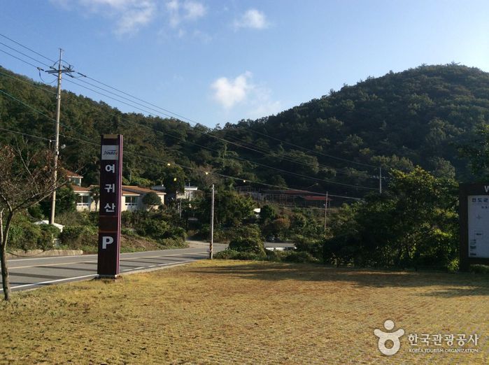
- Yeogwisan (457m above sea level) uses the characters yeo (女, woman) and gwi (貴, precious), so it is easily interpreted as meaning a precious woman. Perhaps because of the mountain's name, when looking up at this mountain from the south or north, the summit and the pointed peak called Small Yeogwisan feel like a woman's breasts.
Yeogwisan Mountain is connected by a ridge line at a straight-line distance of about 12.5 km from Cheomchalsan Mountain located to the northeast. The mountain ridge connecting westward from Cheomchalsan Mountain toward Yeogwisan Mountain passes Suribong Peak (381m) from Cheomchalsan Mountain, briefly descends at Wanggogae Pass, then curves southward, forming the boundary between Chiljeon-ri and Chimgye-ri in Uisin-myeon and continuing south.
The mountain ridge running south from Wanggogae passes a 221m peak that begins to form the boundary between Imhoe-myeon and Uisin-myeon at a distance of about 5km, flows down about 3km more, reaches a 192m peak, curves southwest, and from a 313m peak begins to raise the ridge, forming Small Yeogwisan and Yeogwisan.
At Yeogwisan, the mountain ridge continues southwest, passes Sangman-ri, reaches Yeondae-san (149m), then turns northwest along the coast, passes Huijeosan (270m) and Bichasan (174m), enters Jisan-myeon, runs north, raises Jiryeoksan (325m) and Dongseoksan (240m), and sinks its remaining veins into the sea.
Yeogwisan Mountain is a mountain with two faces. This is because the summit is made up of rocky terrain that is quite difficult to climb, while the sub-ridges flowing down to the left and right centered on the summit form a gentle mountain shape. Also, when viewed from the outside, Yeogwisan Mountain appears easy to climb from any direction, but once you enter the mountain, the forest is so densely packed that it is difficult to break through the forest area and proceed, unlike other mountains on land, if you deviate from the existing hiking trail. However, once you reach the main ridge or the summit, the sea scenery including the Dadohaehaesang National Park, which opens refreshingly to the southwest below, unfolds a breathtaking panorama. On this mountain, the sunrise and sunset that dye the sea crimson are superb. - Sebang Nakjo Observatory
- A place where you can see the most beautiful sunset in Korea
The view of the Dadohae archipelago seen from the Sebang Nakjo Observatory, said to be the most beautiful among Jindo coastal roads, is spectacular. The sunset seen from here is fantastic. The spectacle of the sun setting between islands at dusk dyes the surrounding blue sky a red more vivid than autumn leaves. The Central Meteorological Observatory even selected it as the 'best sunset viewpoint' at the southernmost tip of the Korean Peninsula. This coastal road is Korea's best Dadohae drive course, offering a panoramic view of the beautiful islands of the archipelago at a glance. You can enjoy driving while breathing the clear air emitted by the many forests and clean waters. - Gohado Observatory
- Gohado Observatory is an observatory built by stacking 13 panokseon models in a grid pattern on Gohado, where Admiral Yi Sun-sin reorganized his forces after victory in the Battle of Myeongnyang. It is a place visited by many as a scenic spot to enjoy the beautiful sea views of Gohado, and it preserves the spirit of Admiral Yi and is used as an educational and viewing facility. The first floor is a rest area, and the 2nd to 5th floors are observation decks and exhibition spaces introducing Mokpo tourism.
- Yudalsan Dulle-gil
- This is a 6km circular trail that offers refreshing views of the Dadohae archipelago, taking about 2 hours and 30 minutes. You can appreciate Mokpo Sisa, established in 1907 by the late Joseon scholar Jeong Man-jo and used as a gathering place for local literati, the poignant demolished pagoda of Dalseongsa Temple, and works in Korea's first outdoor sculpture park. At Nakjodae, the sunset that dyes the area near Gohado Mokpo Bridge red and the large and small vessels passing between are beautiful.
[Source: Mokpo Culture & Tourism] - Mokpo Modern History Museum Hall 1
- This building, the oldest in Mokpo, was built as a consulate in October 1897 when Mokpo Port opened, and in October 1898 when the Japanese Consulate in Mokpo was established in Mokpo. Before the consulate was built, Japan borrowed the Manho-cheong (Mokpo-jin, abolished in 1895) from the Joseon government, built a temporary building on the high ground of Yudalsan Mountain and moved it there, and then again prepared the Japanese Consulate in Mokpo and attached facilities such as a police station and post office at the current location in Daeui-dong. Initially, the Japanese consul requested 16,028 square meters of land for the Japanese Consulate in Mokpo from the Muan Gamni, but the Joseon government, having received this application, approved only 9,483 square meters. According to Japanese records, construction began in January 1900 with a cost of about 70,000 won and was completed in December. Afterwards, it was used as the Mokpo Isa-cheong and Mokpo Bu-cheongsa, and after liberation, from 1947 as Mokpo City Hall, from 1974 as the (former) Japanese Consulate in Mokpo, and from January 1990 as the Mokpo Cultural Center, and after the Mokpo Cultural Center recently relocated, it was renovated and opened as Mokpo Modern History Museum Hall 1 in 2014.
[Source: Mokpo Culture & Tourism]
Visitor reviews 0
Videos of this place
Jindo-gun travel resources
All guides →- Guides