 (new window)
 (new window)
 (new window)
 (new window)
Dongho Seodang · Dongho Historic Park
Korean name동호서당·동호유적공원
Machine-translated from Korean. Show original
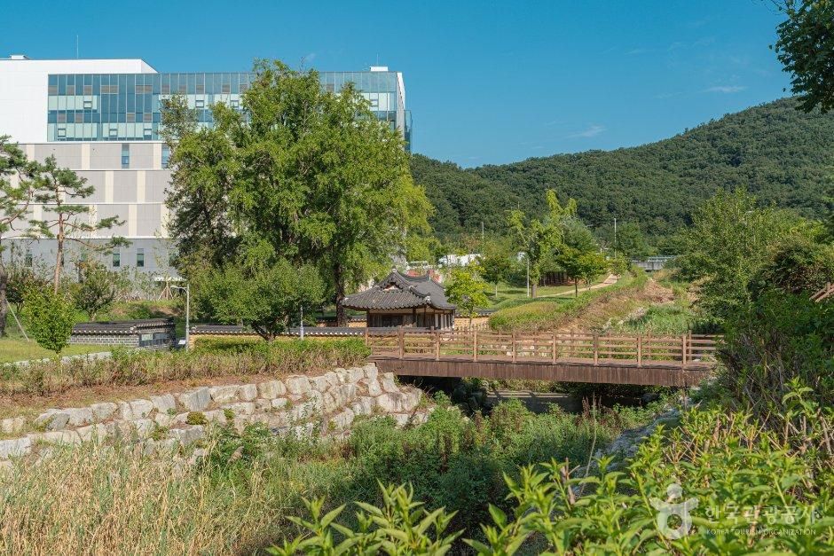
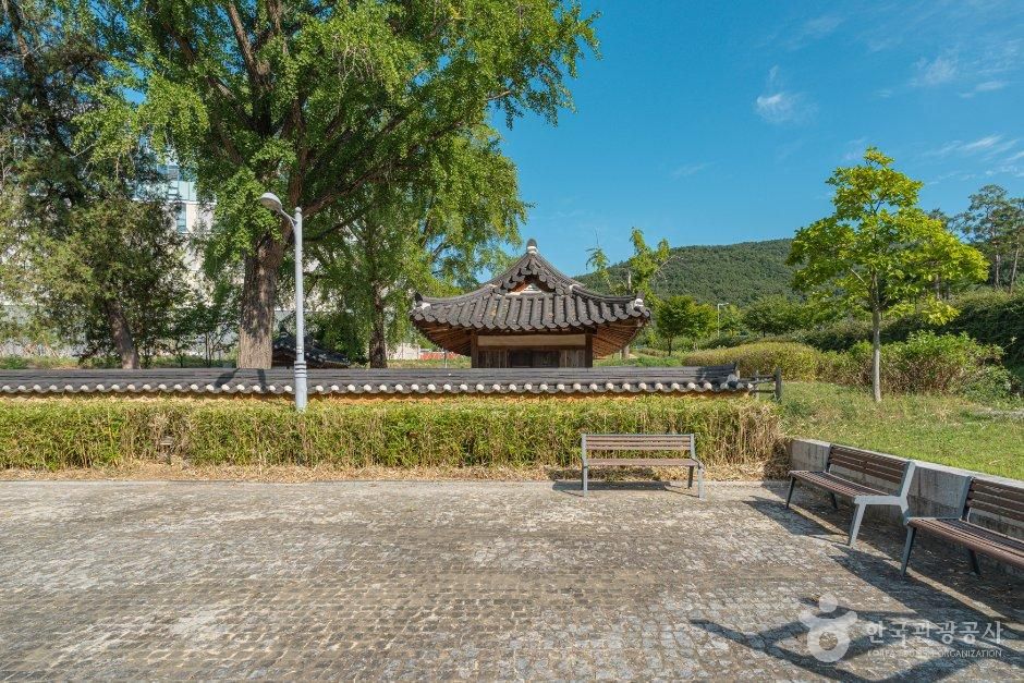
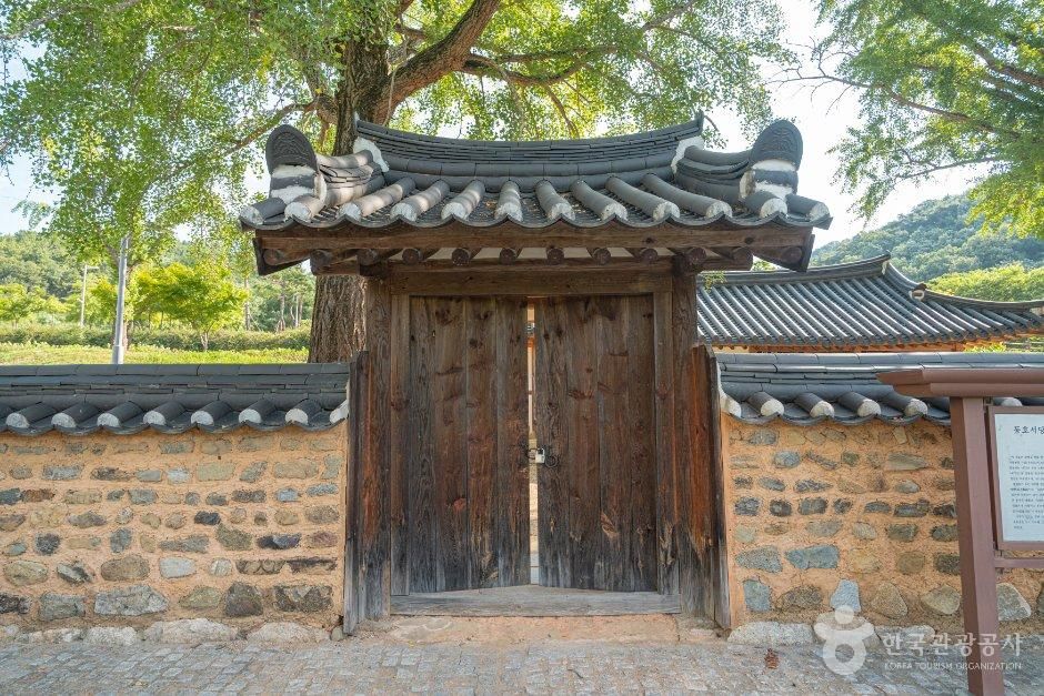
Donghoseodang derives from Donghosa (East Lake Shrine), built in 1820 by the Confucian scholars (sarim) of Hayang-hyeon for the righteous army leader Myeonwa Hwang Gyeong-rim (勉窩 黃慶霖, 1566–1629). Donghosa was left neglected for several years due to King Gojong's decree abolishing seowon (Confucian academies) in 1872, and the main building was rebuilt in 1875. It was later repaired in 1921 and renamed a seodang (village school), and was repaired again in December 2013. Hwang Gyeong-rim was a descendant of Hwang Hui (黃喜), a prime minister during the reign of King Sejong of Joseon, and was the founding ancestor of the village of Dongnae-dong. When the Imjin War broke out in 1592, he raised a righteous army in the Hayang area and became its leader, joining several battles alongside Gwon Eung-su, Gwak Jae-u and others and achieving great merit. The royal court, highly appreciating these achievements, offered him official posts several times, but he declined and devoted himself to nurturing younger scholars and discussing scholarship. After his death, he was granted the honorific title Changuigongsin (Merit Subject of Righteous Uprising). The seodang is a building with a hip-and-gable roof, 4 bays wide at the front and 1 bay deep at the side. It has a 2-bay ondol (heated floor) room on the left and a 2-bay wooden floor on the right, and the building is generally modest in style.
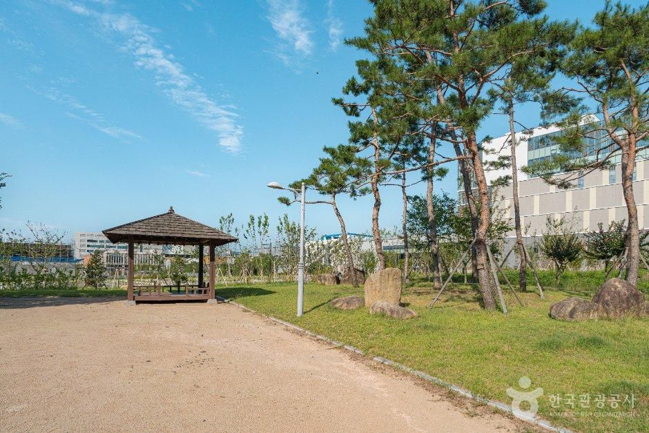
Dongho Historic Site Park is a place created to permanently preserve, by relocating and exhibiting in their original form, the representative Bronze Age dolmens (goindol) and stone cist tombs among the cultural remains excavated and investigated within the Daegu Sinseo Innovation City housing development district, while allowing citizens to naturally encounter the burial rituals of that time. This Daegu Sinseo Innovation City district is located on an alluvial plain of fan-shaped terrain formed by valleys at the ends of the many hills extending southward (toward the Geumho River) from the Palgongsan massif, making it a place with a favorable locational environment. This is proven by the many traces of life from the Bronze Age through the Joseon Dynasty and modern times that have remained and been investigated.
Details
- Admission fee
- Free
Accessible travel information
Machine-translated from Korean.
Mobility
- Access route
- No step at the entrance; wheelchair accessible
- Entrance passage
- The main entrance has no threshold; wheelchair accessible
- Restroom
- Accessible restroom available
Visitor reviews 0
Videos of this place
Dong District travel resources
All guides →- MapDong-gu, Daegu Tourist Guide Map
- MapDaegu Metropolitan City Tourist Guide Map
- GuidesDaegu Tourist Guidebook (e-book) Information