 (new window)
 (new window)
 (new window)
 (new window)
Baengma Ridge (Mudeungsan Area National Geopark)
Korean name백마능선 (무등산권 국가지질공원)
Machine-translated from Korean. Show original
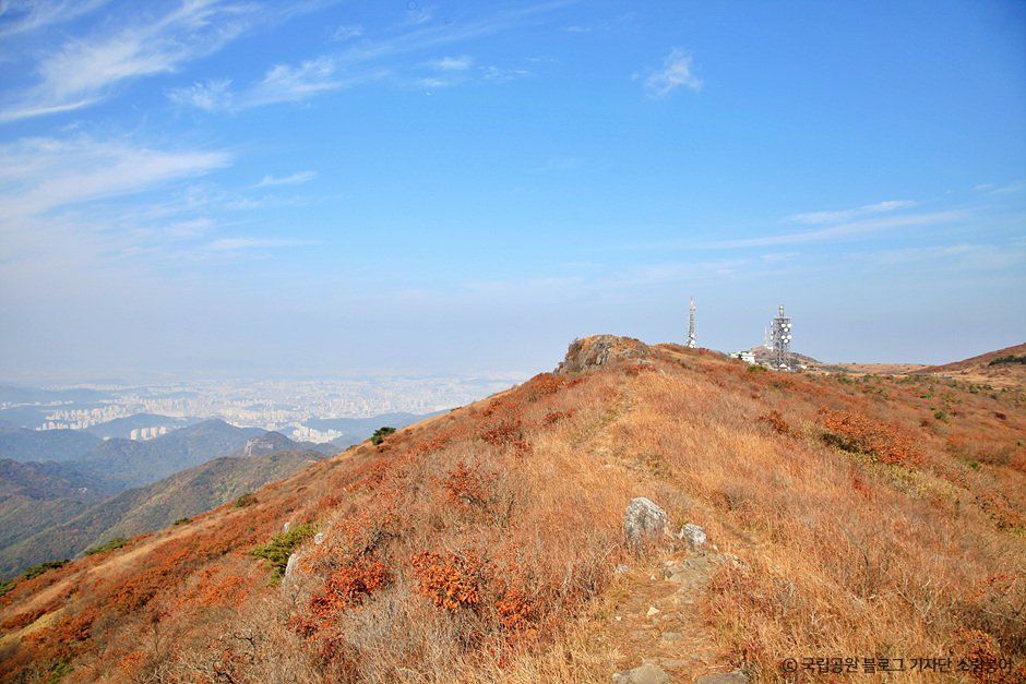
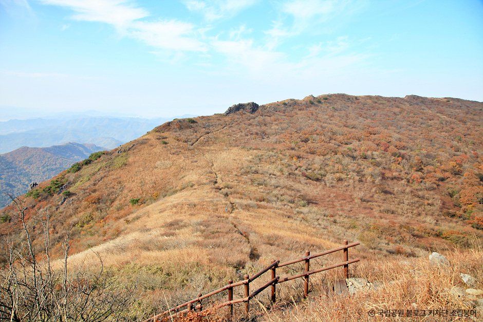
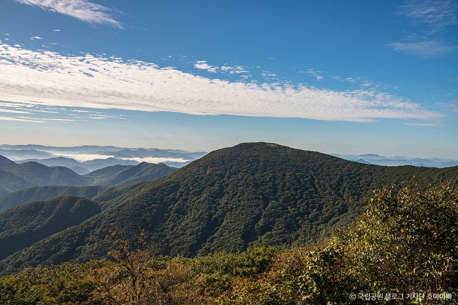
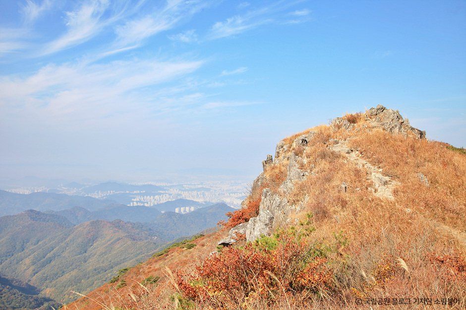
The Baengma Ridge is a large ridge at 800–900 m above sea level and 2.5 km long connecting Jangbuljae to Naktabong Peak and the summit of Anyangsan Mountain. It was named because the silver grass on the terrain resembling a horse's back looks like a white horse's mane. Viewed from satellite imagery, the southwestern slope of Baengma Ridge shows many large and small talus (boulder fields) distributed between 500 and 900 m above sea level. On the other hand, almost no talus is observed on the northeastern slope; this phenomenon is presumed to be because physical weathering caused by the repeated freezing and thawing of water in rock crevices in winter is concentrated on the southwestern slope exposed to sunlight, producing rock blocks that make up the talus well.
Details
- Admission fee
- Free
Visitor reviews 0
Videos of this place
Hwasun County travel resources
All guides →- Guides