 (new window)
 (new window)
 (new window)
 (new window)
 (new window)
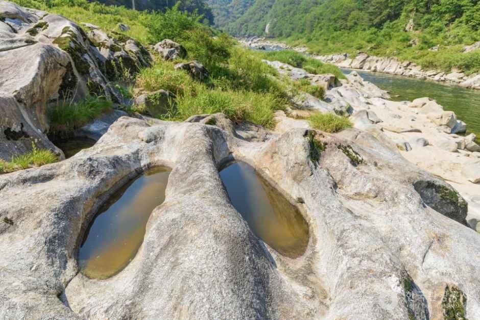
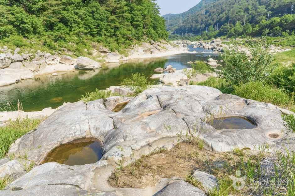
Naerinchon Pothole (Gangwon Peace Area National Geopark)
Korean name내린천 포트홀 (강원평화지역 국가지질공원)
Machine-translated from Korean. Show original
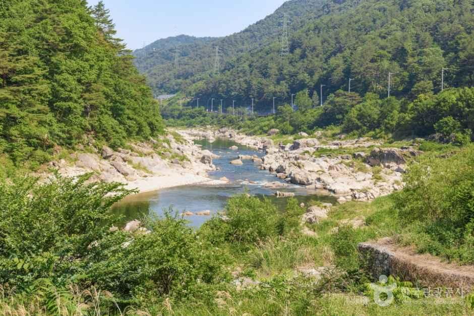
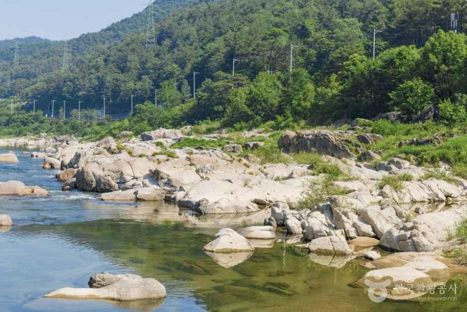
Naerincheon is a tributary of the Soyang River, originating from the valleys of Odaesan and Gyebangsan in Naemyeon, Hongcheon-gun, passing through Sangnam-myeon and Girin-myeon in Inje-gun, and joining the Soyang River, the first tributary of the Bukhangang River, at Hapgang-ri, Inje-eup. The place name Naerincheon was created by combining the character 'nae (內)' of Naemyeon, Hongcheon-gun, corresponding to the upper reaches, and the character 'rin (麟)' of Girin-myeon, Inje-gun, corresponding to the lower reaches.
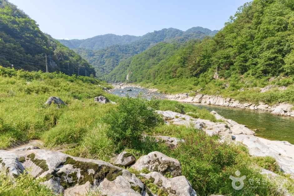
An ingrown meander (entrenched meander) refers to a meandering river that, as a result of uplift of the land or a fall in sea level due to climate change, has cut deeply into its bed, forming a valley that is deep relative to the width of the river. Unlike most rivers in the Bukhangang basin, which flow southwest, the Naerincheon flows northwest, and it is characterized by having the highest average valley elevation within the Bukhangang basin. As a result, the valley is very narrow and the bends of the river are extremely sharp, forming a typical ingrown meander.
In particular, the area boasts excellent natural scenery and a clean environment; in 1997, when the government announced a plan to build the Naerincheon Dam, the construction was canceled due to opposition from residents and environmental groups. Note that parking is available at the waterside park.
Details
- Restroom
- Yes
Visitor reviews 0
Videos of this place
Inje-gun travel resources
All guides →- e-book
- GuidesYour New Korea, Healing Gangwon Travel
- e-book
- GuidesHealing Gangwon - Themed Travel to Gangwon Province